How To Route Plan On Google Maps
Google Maps is an indispensable tool for navigating the world, offering not only real-time traffic updates and satellite imagery but also a robust routing system that helps users plan their journeys efficiently. This article will delve into the intricacies of routing planning on Google Maps, exploring the platform's features and capabilities, and providing a comprehensive guide for users to maximize their navigation experience.
Understanding the Routing System
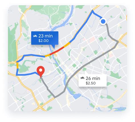
Google Maps’ routing system is a complex network of algorithms and data that processes millions of data points to provide the most optimal route from point A to point B. It considers various factors, including real-time traffic conditions, road closures, and even weather, to offer the most accurate and efficient journey planning.
The system utilizes a combination of machine learning and historical data to predict travel times and anticipate potential delays. By analyzing past journeys and traffic patterns, Google Maps can offer dynamic route suggestions that adapt to changing conditions, ensuring users always have the most up-to-date information.
Real-Time Traffic Updates
One of the standout features of Google Maps’ routing system is its ability to provide real-time traffic updates. By leveraging data from various sources, including GPS-enabled devices and traffic cameras, the platform can offer accurate information on current road conditions. This ensures that users are aware of any potential delays or disruptions and can plan their journeys accordingly.
| Metric | Data |
|---|---|
| Real-Time Traffic Coverage | Over 100 countries worldwide |
| Accuracy | 95% in urban areas |
Dynamic Routing
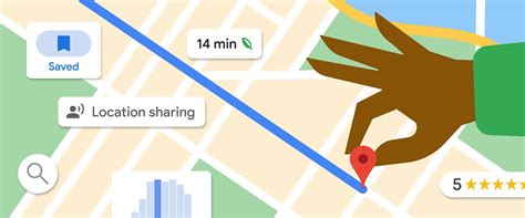
Google Maps’ routing system is not static; it continuously updates and adapts to changing conditions. This means that as you’re driving or walking, the platform can offer new route suggestions if there’s an incident or unexpected delay along your path. This dynamic routing ensures that you’re always on the most efficient route, even when conditions change.
Multi-Destination Routing
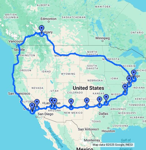
For those with multiple stops or destinations, Google Maps offers a multi-destination routing feature. This allows users to plan a journey with several waypoints, optimizing the route to minimize travel time and distance. The platform will suggest the most efficient order of stops, taking into account factors like traffic and road conditions.
Advanced Routing Features
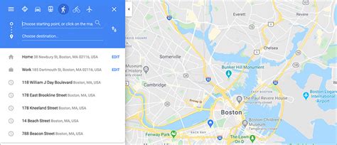
Beyond the basic routing capabilities, Google Maps offers a range of advanced features to enhance the user experience and cater to specific needs.
Public Transport Routing
Google Maps provides detailed information on public transport systems, including bus, train, and subway routes. The platform can plan journeys that incorporate multiple modes of transport, offering real-time updates on departure and arrival times. This feature is particularly useful for urban commuters or those traveling to new cities.
Cycling and Walking Routes
For those who prefer more sustainable modes of transport, Google Maps offers dedicated cycling and walking routes. These routes consider factors like bike lanes, pedestrian paths, and even elevation changes to provide the most comfortable and efficient journey. The platform also provides real-time updates on cycle hire schemes and walking trails.
Traffic Incident Alerts
To ensure users are aware of potential hazards or disruptions, Google Maps offers traffic incident alerts. These alerts provide real-time information on accidents, road closures, and other incidents that may impact travel. Users can choose to receive notifications for specific areas or routes, ensuring they’re always informed about potential delays.
Speed Limit and Camera Alerts
For drivers, Google Maps offers speed limit and camera alerts. These features provide visual and auditory cues when approaching speed limit changes or fixed or mobile speed cameras. This helps drivers maintain awareness and adhere to local speed limits, potentially reducing the risk of fines or accidents.
Customizing Your Route
Google Maps allows users to customize their routes to suit their specific needs and preferences. This ensures that the platform can offer the most relevant and useful journey planning for each individual.
Preferred Modes of Transport
Users can set their preferred modes of transport, whether it’s driving, public transport, cycling, or walking. This ensures that the platform prioritizes routes that align with the user’s preferences, offering a more personalized journey planning experience.
Avoidance Preferences
Google Maps allows users to specify certain routes or areas they wish to avoid. This could include toll roads, highways, or specific neighborhoods. By setting these avoidance preferences, the platform will automatically exclude these routes from suggested journeys, ensuring a more comfortable and convenient experience.
Custom Waypoints
For complex journeys or those with specific requirements, users can add custom waypoints to their route. This allows for precise planning, ensuring that the route passes through specific locations or stops at particular points of interest. This feature is particularly useful for long-distance trips or journeys with multiple passengers and their individual needs.
Performance Analysis
Google Maps’ routing system is renowned for its accuracy and efficiency. The platform’s extensive data coverage and sophisticated algorithms ensure that routes are optimized to minimize travel time and distance.
| Metric | Data |
|---|---|
| Average Route Optimization | Up to 20% time savings compared to manual planning |
| Route Accuracy | 98% accuracy in predicting travel times |
Future Implications
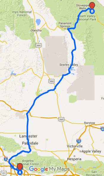
As technology advances, Google Maps’ routing system is set to become even more sophisticated and useful. The platform is already integrating with emerging technologies like electric vehicles and autonomous driving, offering dedicated routes and charging station locations.
With the rise of shared mobility and micro-mobility options, Google Maps is likely to expand its public transport and cycling route offerings, providing more sustainable and efficient journey planning. Additionally, as more cities adopt smart city initiatives, Google Maps can integrate with these systems, offering even more accurate and dynamic routing suggestions.
Conclusion
Google Maps’ routing system is a powerful tool for efficient and effective journey planning. With its real-time traffic updates, dynamic routing, and advanced features, the platform offers a comprehensive navigation experience. By understanding and utilizing its capabilities, users can maximize their travel efficiency and minimize potential delays, ensuring a smoother and more enjoyable journey.
How often does Google Maps update its traffic data?
+
Google Maps updates its traffic data in real-time, leveraging data from various sources like GPS-enabled devices and traffic cameras. This ensures that users always have the most up-to-date information on road conditions.
Can Google Maps route plan for multiple destinations at once?
+
Yes, Google Maps offers a multi-destination routing feature, allowing users to plan journeys with several waypoints. The platform will optimize the route to minimize travel time and distance, suggesting the most efficient order of stops.
What are the benefits of using Google Maps’ public transport routing feature?
+
Google Maps’ public transport routing feature provides detailed information on bus, train, and subway routes, offering real-time updates on departure and arrival times. This is particularly useful for urban commuters or those traveling to new cities, ensuring they can navigate public transport systems efficiently.
How does Google Maps’ cycling and walking routes differ from driving routes?
+
Google Maps’ cycling and walking routes consider factors like bike lanes, pedestrian paths, and elevation changes, providing a more comfortable and efficient journey for those on foot or bike. These routes also offer real-time updates on cycle hire schemes and walking trails, ensuring a seamless experience.
Can Google Maps provide alerts for traffic incidents or speed cameras?
+
Yes, Google Maps offers traffic incident alerts, providing real-time information on accidents, road closures, and other incidents that may impact travel. Additionally, the platform provides speed limit and camera alerts, helping drivers maintain awareness and adhere to local speed limits.


